
Maritime Intelligence & Control
Deep Blue.
Eyes on the Blue.
A sovereign maritime intelligence platform delivering real-time visibility across territorial waters, exclusive economic zones and critical maritime infrastructure.
The Maritime Security Challenge
In protected waters, visibility is everything.
Across every Exclusive Economic Zone, every vessel leaves a trace — identity, course, speed, intent. Until one doesn't.
IUU fishing
Industrial-scale illegal, unreported and unregulated fishing destroying marine resources.
Smuggling & illicit trade
Weapons, narcotics and contraband moving at sea, often via ship-to-ship transfers.
Dark vessels
AIS disabled, identity concealed, activities hidden — suspicion becomes threat.
Weak enforcement
Vast EEZs, fragmented monitoring and heavy reliance on AIS alone.
Why visibility matters
Vessels go dark. Activity vanishes at sea.
Invisibility is no longer protection. Deep Blue fuses satellite, signal and operational intelligence into a single picture — so the moment a vessel disappears, the system reacts.
- AIS signals disabled — track isolation triggered
- Identity concealed — ownership & risk re-profiled
- Activities hidden — behavior anomalies surfaced
- Threat classification & response recommendation
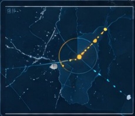
Full-spectrum maritime intelligence
From detection to action — in one system.
Deep Blue gives operators a full operational picture of the EEZ: live vessel monitoring, asset coordination, historical intelligence and real-time alerts.
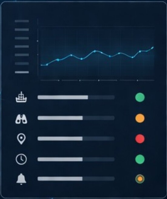
Data sources & sensor fusion
Beyond AIS — full-spectrum intelligence.
Satellite imagery (SAR)
Detect dark vessels regardless of weather, light or AIS status.
Signal intelligence
IMSI / IMEI capture, communication tracking and suspicious-network identification.
Geolocation tracking
Cross-correlate signals, imagery and AIS to localize and identify targets.
AIS & vessel data
Identity, course, speed and intent — continuously enriched.
Aerial & UAV
Long-range monitoring, real-time video, rapid VTOL deployment, no runway required.
AI data fusion
Multi-source ingestion fused into a single operational truth.
Operational workflow
The moment a vessel disappears, the system reacts.
Detect
Multi-sensor monitoring across the EEZ surfaces anomalies in real time.
Investigate
Track isolation, route reconstruction, ownership and behavior profiling.
Decide
Threat classification, risk scoring and response recommendation.
Act
Coordinated deployment of patrols, UAVs and interceptor vessels — one console.
Key capabilities
One platform. Ten mission-critical capabilities.
EEZ Monitoring
IUU Fishing Detection
Dark Vessel Detection
Smuggling & Illicit Trade
Border Security
Search & Rescue Support
Environmental Protection
Port & Coastal Surveillance
Multi-Sensor Fusion
Predictive Analytics
Use cases
Built for the agencies that own the water.
National coast guards
Defend the EEZ against IUU fishing, smuggling and unauthorized incursions with continuous, multi-sensor surveillance.
Naval & defense
Detect dark vessels, ship-to-ship transfers and state/non-state actors operating below the AIS layer.
Border & customs
Cross-border tracking, intercept planning and coordinated response across maritime approaches and ports.
Critical infrastructure
Persistent monitoring of pipelines, cables, offshore platforms and port facilities of national importance.
Strategic impact
Control restored. Threats neutralized. Cases closed.
Operational impact
- Full situational awareness
- Stronger enforcement
- Faster decision-making
Economic & environmental
- Protection of marine resources
- Increased government revenues
- Sustainable fisheries & ecosystem protection
Architecture
Integrated C4I architecture.
- Multi-source ingestion. AIS, SAR, SIGINT, GEOINT, OSINT, HUMINT.
- AI analytics platform. Fusion, classification, scoring, recommendation.
- Unified command interface. From watch-floor to bridge — one operational picture.

The film
See Deep Blue in motion.
A short look at how Deep Blue turns scattered signals into a single operational truth — from detection to intercept.

Take command of your waters.
Brief your team on Deep Blue with a tailored maritime walkthrough.
Request a briefing